Always wear clothes that you can get wet in, and shoes that will stay on your feet.
You are welcome to bring lunch or snacks on the river, but no glass containers.
No alcohol is allowed on either river.
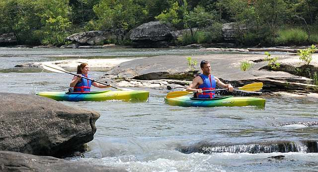
The Big South Fork River is located about an hour from Sheltowee Trace Adventure Resort.
Trips on the Big South Fork meet at the take-out point. We take you to the put-in point and you canoe/kayak back to your vehicle.
All boats must be in by 6pm
Backcountry permits are required for overnight trips on the Big South Fork
Trips on the Cumberland River meet at Sheltowee Trace Adventure Resort. You follow the driver to the take-out point and canoe/kayak back to your vehicle.
Parking permits (no-charge) are required when leaving a vehicle overnight at Cumberland Falls State Park